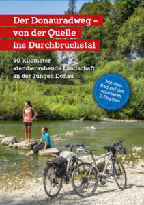
Through the Donaubergland
By bike on the two most beautiful stages of the Danube Cycle Path
90 kilometers of breathtaking scenery along the Young Danube. The first two stages of the Danube Cycle Path from the source in Donaueschingen through the Donaubergland in the Danube valley to Sigmaringen are probably the “fillet” of the Danube Cycle Path and are certainly among the most scenically impressive sections of the entire cycle path.
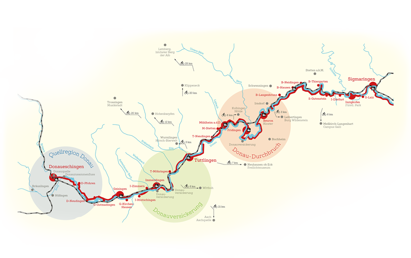
From Donaueschingen to Sigmaringen
The Danube cycle path
The “fillet” of the Danube Cycle Path – close to nature along the Young Danube from its source through the Durchbruch valley. Can be completed as a day tour or in two stages.
Unique landscape experiences
Danube infiltration and Danube Park
There, where the Danube flows into the North Sea, and directly next to it, where the Danube has carved its riverbed through the limestone mountains of the Swabian Alb towards the Black Sea.
But as soon as it emerges, the Danube disappears again after just under 35 kilometers. The Danube seepage near Immendingen is a unique natural phenomenon that allows the Danube to flow not only into the Black Sea, but also into the North Sea at the same time. As it enters the limestone of the Swabian Alb, a large proportion of the Danube water simply sinks and seeps into the ground. As a result, the riverbed between Immendingen and Möhringen is dry for more than half of the year. You can cross the dry riverbed here in summer.
But then a few kilometers further on, a beautiful river landscape between Möhringen and Tuttlingen as well as an inviting Danube park in the middle of Tuttlingen, which invites you to linger.
Unique landscape experiences
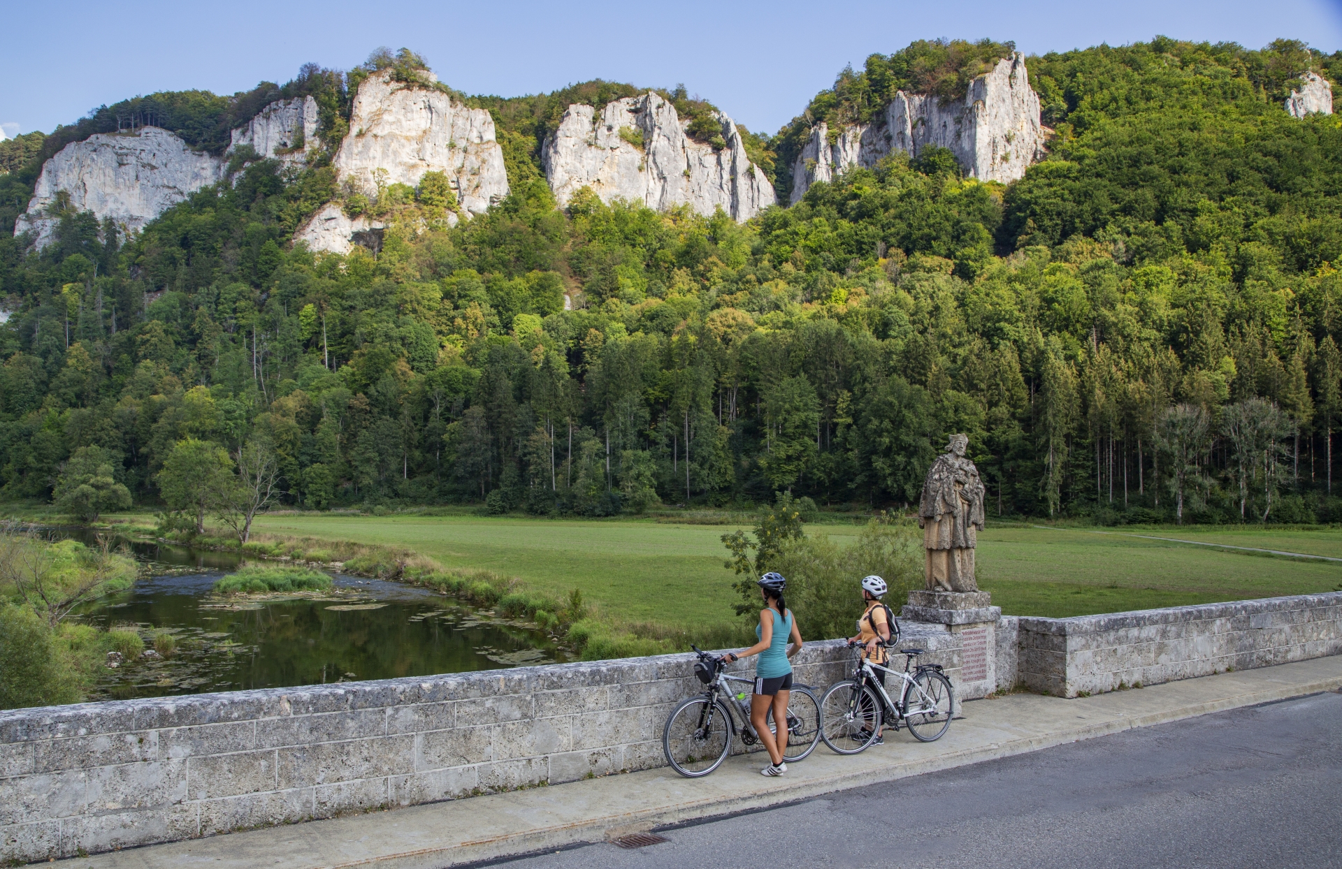
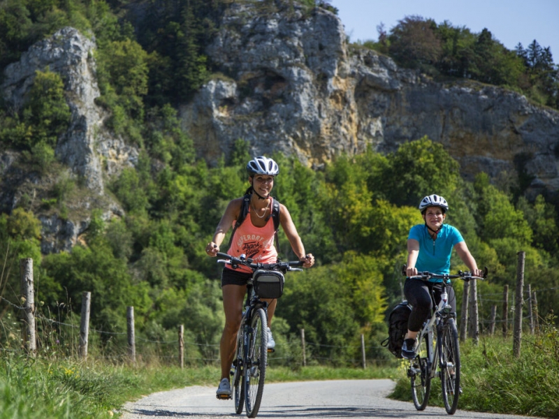
The Upper Danube Valley
Another ten kilometers further on, on the cycle path through the middle of the Danube breakthrough valley – what a natural spectacle – rugged, gleaming white limestone cliffs, mighty, steeply sloping rock massifs and the Danube meandering between them.
“Brigach and Breg bring the Danube to you”, as the saying goes. Whether at the source of the Danube in Donaueschingen or at the confluence of the Brigach and Breg rivers, the Danube, Europe’s second largest river, begins in Donaueschingen, right on the edge of the Black Forest and the Donaubergland. On its way to the Black Sea, it connects 10 countries and even more peoples.
The first two stages of the Danube Cycle Path take you through the heart of the Donaubergland.
The Danube cycle path in Germany
600 kilometers of Danube cycle path through Germany
From Donaueschingen to Passau – one of the most popular cycle routes in Europe. Danube cycle path. Along the Young Danube, it goes through Baden-Württemberg in individual daily stages from Donaueschingen via Immendingen, Tuttlingen, Sigmaringen to Ulm, and then on in Bavaria via Dillingen, Neuburg to Ingolstadt, Weltenburg Monastery, Kehlheim and Regensburg to Passau.
Since 2017, the Danube Cycle Path has been certified as a four-star quality cycle route by the Allgemeiner Deutscher Fahrrad-Club (ADFC).
If one river alone is not enough, you can also explore 6 rivers by bike
EuroVelo 6 has a length of around 3600 kilometers, crosses 10 countries and 4 UNESCO sites. A journey along the 6 largest rivers in Europe, from the Atlantic to the Black Sea, from Nantes via Basel to Ulm, Passau and Vienna to Constanta.